REU - Gulf Coastal Plain
Gulf Coastal Plain
Page Content

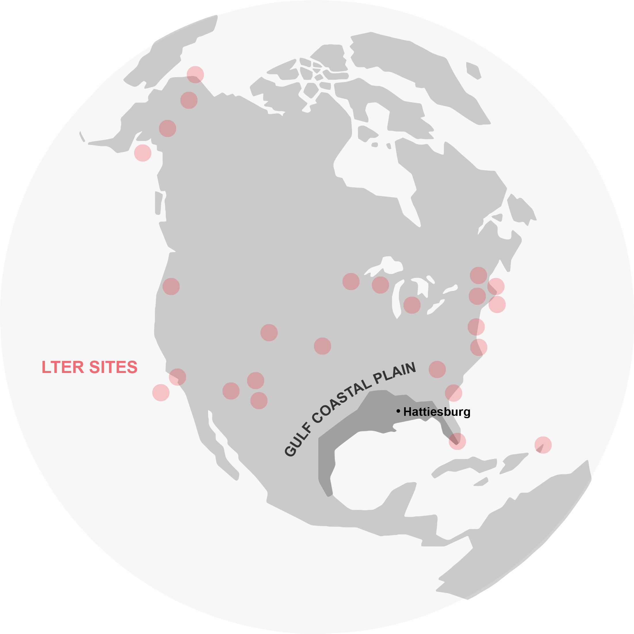
Map of the Gulf Coastal Plain with the location of USM (Hattiesburg) and LTER sites.
The Gulf Coastal Plain or GCP (Fig. 1), a geographic province of alluvial and marine sediments in the southern U.S. and eastern Mexico, is a unique and ideal location for ecological research because of its high biodiversity, diversity of land uses, juxtaposition of pristine and altered habitats, and relative lack of study. Covered by a shallow sea in the Cretaceous, the GCP northern boundary is the “fall line” that leads to older rocks of the Piedmont, Appalachian Highlands, and Ouachitas. Portions of 10 states lie within the GCP, including most of Alabama, Florida, and Mississippi and all of Louisiana, states with large numbers of students who are underrepresented in STEM fields. Over 60% of the land area of the lower 48 U.S. states drains through the GCP into the Gulf of Mexico via the Mississippi River, the fourth largest river basin in the world, but the GCP also includes the pristine, unimpeded Pascagoula River basin, a basin in stark contrast to the Mississippi River: this unique river system is the largest unimpeded river by volume in the contiguous 48 states. In addition, it is the only unimpeded river with an annual discharge of over 10 km3/year into the Gulf of Mexico or in the humid subtropical climate zone worldwide.
Another unique aspect of the GCP is that most upland forests were historically longleaf pine (Pinus palustris). The longleaf pine ecosystem now covers < 3% of its original range and is one of the most endangered ecosystems in the U.S. There are several tracts of remnant and restored longleaf pine ecosystem scattered throughout the southeastern U.S., and the DeSoto National Forest tract, only a few miles south of USM, is the second largest. Longleaf forests boast some of the highest plant diversities in the U.S. and are home to many threatened and endangered species as well as southeastern endemics. Despite these ecological characteristics, there are few coordinated, multi-scale, interdisciplinary research groups within the GCP. For example, of the 25 NSF Long-Term Ecological Research (LTER) sites in the United States, only one is marginally within the GCP (Florida Everglades) (Fig. 1), which means that a large region of the U.S. was not well represented in recent studies on climate change.